Images from Arkansas River

We have wonderful paths on both east and west bank of the Arkansas. Generally flows from west to east. But in Tulsa it turns south for a distance.

The path runs under several bridges. This shot is taken to show the variation in water level. Look close and you'll see the extreme. The river is not navigible at this point and was very low.
There is a dam upstream about 20 miles but water flow is more about rainfall than power generation.

Here you can see how low! Good for arrow head hunting. Tulsa is in the middle of the Indian Nations.
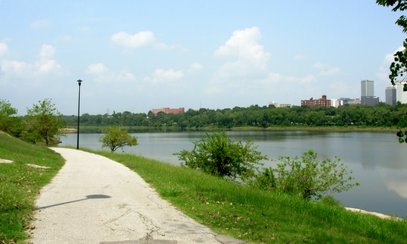
 Another shot toward town. Downtown Tulsa has a number of Art Deco building. At one time it was the oil capital of the world. And there are many rigs still running. The town has benefited from it's oil wealth with two world class museums. Philbrook and Gilcrease.
http://www.philbrook.org/
http://www.gilcrease.org/index2.html
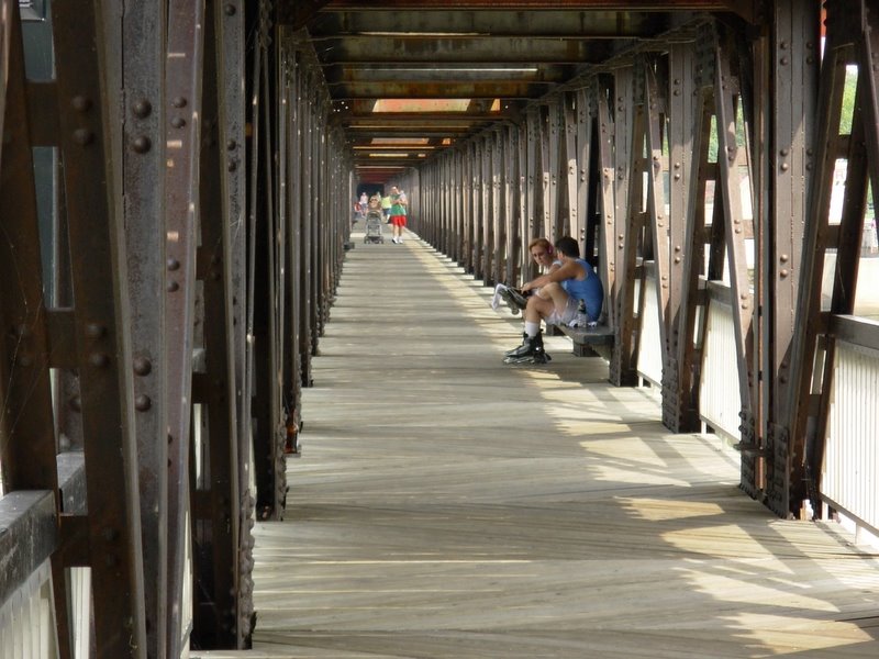
This is a pedestrian bridge built beneath the original rail bed.
posted by JLLove at 10:26 PM
![]()
![]()


2 Comments:
Johnny, these are all wonderful pictures!
Thanks, Chris.
Good to hear from you!
Post a Comment
<< Home